Explore Southwestern Colorado and Eastern Utah on this 8-day Adventure
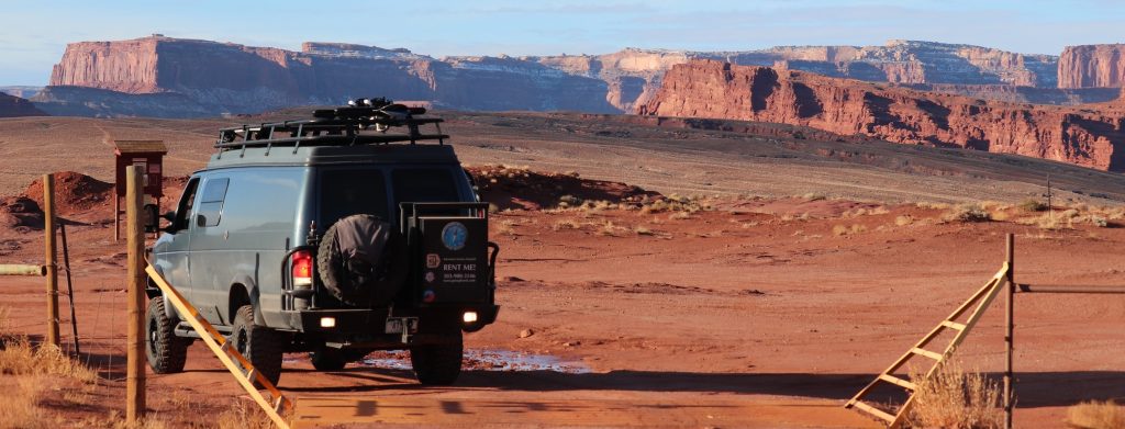
 Day 1. From Denver, travel on I-70 west for 345 miles to Moab, UT. If you prefer to break up the drive, a good place to stop would be the Colorado National Monument in Fruita, CO. Depending on the weather, this is a great place for a hike or to just relax and have some lunch. Continue on towards Moab. Take US 191 to Moab. There are several BLM roads on the East side of 191 with plenty of dispersed camping. If you take UT-313 towards Canyonlands National Park, there are several designated camping areas along this route. Along UT-279 (Potash) you will find some dispersed camping by the Colorado River.
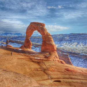
Day 2-3. Canyonlands. Continue South on 191 to the entrance to Canyonlands National Park. See Canyonlands Park Service Map for hiking and camping. Next stop is Arches National Park. There is plenty of hiking and photographic opportunities inside the park.
Day 4. Arches and Negro Bill Canyon. From 191 South, turn left onto Arches Scenic Dr., also the entrance to Arches National Park. At the park entrance, you will receive a park map and guide. All of the hiking opportunities will be on this map. After exploring Arches, exit the park and head south on 191. After approx. 3 miles turn left onto UT-128. Continue on 128 for approx. 5 miles to the parking lot for Negro Bill’s Canyon hike. This is an easy 4.2 mile round trip hike which affords awesome views photographic opportunities. From here, return to camping spot or find a new place to camp.
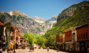
Day 5. Telluride. 132 miles. Enter telluride into the GPS. From Moab, continue south on 191to the junction of 191 and 46. Turn left (East). 46 turns into CO-90 once you cross the border into Colorado. Take 141 South at the junction then continue straight on 145 to telluride. Once in Telluride inquire about camping in the area at the Visitor Information Center. 700 W. Colorado Ave.
 Day 6. Visit the Telluride Mountain Resort for information on self-guided or guided snowshoeing tours.
Day 7. Black Canyon of the Gunnison. 78.4 miles. From Telluride, Backtrack on 145 to CO-62 east to US-550 North. Continue through the town of Montrose. This is a good spot to fill up on propane, gas, water, ect. At Montrose, take US-50 East towards Gunnison. You will see the turnoff for Black Canyon of the Gunnison. Inquire at the visitors center about camping and snowshoeing opportunities in the park.
Day 8. Buena Vista, CO. 145 miles. From the Black Canyon, continue East on US-50 to the intersection of US-285. Head North. You will arrive in the town of Buena Vista. Here you can stop at the Cottonwood Hot Springs. Relax and soothe your aching muscles in the natural hot springs. You can also camp in the parking lot and enjoy the hot springs the next day for free. Enter 319 Lookout View Ct, Golden CO. into the GPS.